Maps & DirectionsDownloadable Maps
|
Visit The Refuge
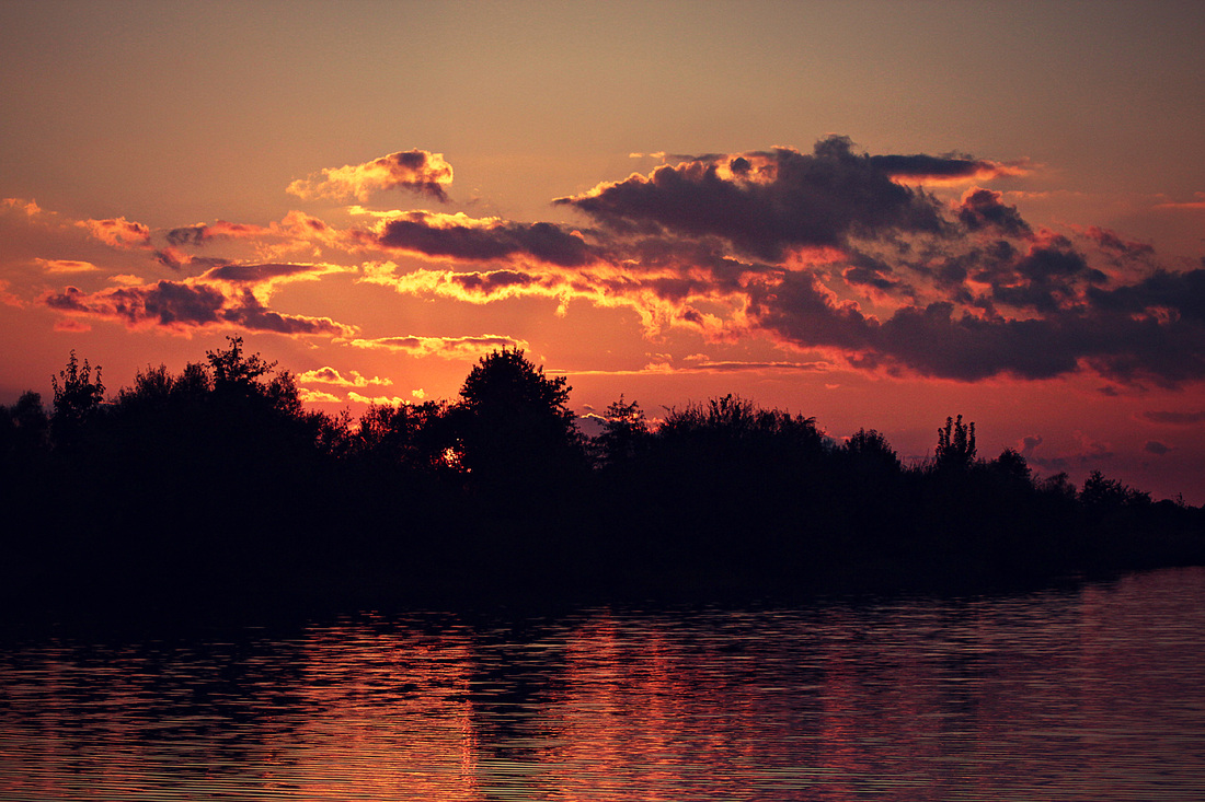
The Patoka River National Wildlife Refuge offers local residents and vacationers alike many unique opportunities for wildlife viewing, fishing, hunting, hiking, birding, nature photography, and canoeing. There is currently no admission charge to visit the Patoka River NWR.
Fishing Refuge waters, including the Patoka River, South Fork, and adjacent oxbow and overflow wetlands such as Snakey Point and Buck marshes, offer excellent rod and reel fishing for bass, crappie, bluegill and red-eared sunfish. Fishing is allowed during daylight hours, in accordance with State regulations. Hunting Much of the refuge is open to upland game and waterfowl hunting in accordance with State regulations. Access can be difficult. Contact refuge headquarters for specific information and maps. Hiking, Wildlife Observation and Photography The refuge offers outstanding opportunities to view and photograph wildlife by driving on public roads, walking, or canoeing and boating refuge waters. Vehicles must remain on maintained roads. An auto tour map and information about hiking trail locations are available at the Refuge headquarters Birding Birding is a very popular activity on the Refuge, and for good reason. Wood ducks, whooping cranes, interior least terns and cerulean warblers are some of the many bird species that visit this Refuge. Birding tour maps are available at the Refuge office upon request. Paddling Public access ramps are located along the Patoka River in Pikeville, Survant and Winslow. Follow safe boating rules at all times. Clear passage is not always possible throughout the year. Check with the Refuge headquarters for current river conditions. Getting There: Located in the counties of Pike and Gibson, the refuge is 30 miles north of Evansville by way of State Road 57. It is adjacent to the small towns of Oakland City along State Road 64 and Winslow on State Road 61. The refuge headquarters is located on the west side of Oakland City on the south side of State Road 64. | ||||||||||||||